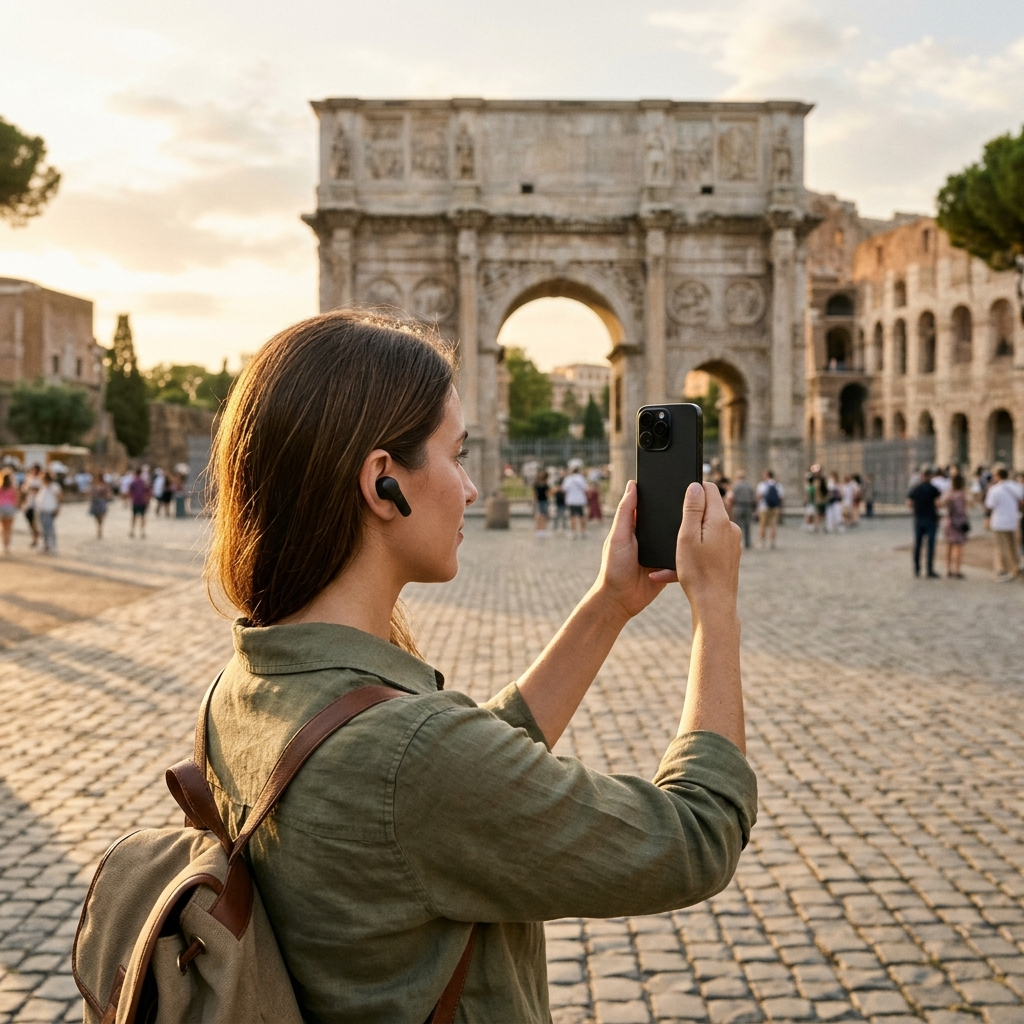
How to Explore Any City Independently Without Paying for Walking Tours
You can explore a city on foot without booking a commercial walking tour by pairing digital maps with visual landmark identification and on-demand audio narration. Modern mobile apps allow you to learn local history, identify architecture, and manage custom itineraries at your own pace without fixed group schedules or mandatory tips.
The Hidden Trade-offs of Commercial Walking Tours
Commercial walking tours remain common, but group travel introduces practical compromises. Scheduled tours require meeting at fixed times and locations, following predetermined routes that cannot adapt to personal interests or spontaneous detours. Participants also navigate crowded sidewalks, strain to hear guides over street noise, and spend time waiting for larger groups to assemble.
Free walking tours also introduce subtle costs. Most rely on gratuities, often creating pressure to tip at the end of the walk. In addition, some operators route groups toward commercial partners, including specific gift shops or cafes. Touring independently gives you full control over your route, pace, and spending.
Key takeaway: Self-guided exploration removes rigid schedules, group delays, and commercial stops so you can focus on the sites you choose.
Curating Custom Routes with Interactive Maps
Effective self-guided tours rely on a clear overview of the destination. Mapping platforms that catalog verified points of interest (POIs) help you evaluate the distribution of monuments, historic markers, and cultural destinations across neighborhoods, preventing unnecessary backtracking.
The AI tour guide app, Aitour, integrates Google Maps with POI markers and location tracking. Tapping a marker displays a quick preview with the site’s category, visual thumbnail, and distance from your current position. The interface also supports dark mode to reduce screen glare and help conserve battery life during evening walks.
An integrated map catalog lets you view nearby sites at a glance, search categories, and refresh markers as you move through each neighborhood to set manageable walking distances.
Key takeaway: Mapping points of interest visually helps you cluster stops geographically and reduce transit time between destinations.
Building and Organizing Personalized Itineraries
Self-guided exploration works best with a flexible route. Rather than following an operator’s standard circuit, you can select landmarks tailored to your interests, whether you prefer historic districts, civic architecture, or public parks.
In Aitour, the Favorites and Trips feature lets you save locations directly from the POI catalog. You can create named trips for specific morning or evening walks, then organize stops using drag-and-drop reordering to align destinations by proximity or visiting hours.
- Group destinations by area: Keep stops within a single district to maintain short walking intervals.
- Order stops by daylight: Visit open plazas and prominent facades during peak light, saving well-lit streets or evening destinations for later.
- Adjust on the go: Reorder or delete stops easily if weather changes or you decide to stay longer at a specific site.
Key takeaway: Custom trip planning lets you sequence and modify your walking route without adhering to a tour group’s timetable.
Identifying Unknown Sites with Image Recognition
Tour guides provide immediate context when passing unfamiliar buildings and monuments. Visual recognition tools now offer similar utility on mobile devices, helping you identify statues, architectural reliefs, and historic structures that lack informative plaques.
Aitour includes an AI Landmark Scanner that identifies places through your smartphone camera. Taking a photo of a landmark matches the image against the app’s point-of-interest catalog, directing you to a dedicated place page with historical background and descriptions.
The scanner also works with saved video. You can select a recorded video from your device gallery, and the app identifies the landmark using the video thumbnail. This allows you to log and research sites you documented while walking.
Key takeaway: Automated landmark scanning provides instant historical information on unfamiliar sites without requiring manual catalog searches.
Utilizing On-Demand Audio Narration and AI Querying
Reading lengthy text on a screen while walking is impractical. Audio narration provides historical context while allowing you to keep your attention on your surroundings.
Aitour includes a Live Tour Guide feature that provides voice-guided walking tours powered by AI. Users can listen to narrated descriptions hands-free using text-to-speech technology. A free trial is available to all users, offering an alternative to commercial audio headsets and group guides.
For questions beyond standard descriptions, each POI page features an Ask AI tool. You can ask specific questions about architectural styles, historical dates, or notable figures associated with a site and receive direct answers on the spot.
Key takeaway: Hands-free narration keeps your focus on the streetscape, while conversational AI answers specific questions about individual landmarks.
Step-by-Step Checklist for an Independent City Walking Tour
To run an organized, self-guided walking tour, use this straightforward preparation workflow:
- Select your target district: Use full-text search and category filters in Aitour to review landmarks in your chosen neighborhood.
- Create a custom trip: Add selected locations to a named trip and arrange stops in a logical walking circuit using drag-and-drop ordering.
- Enable offline functionality: Confirm your saved places and routes are ready for offline use so you can explore without relying on cellular data.
- Use earphones for narration: Connect headphones to listen to text-to-speech descriptions safely while navigating sidewalks.
- Identify unfamiliar monuments: Use photo scanning or video thumbnail recognition to look up unmarked buildings and statues.
- Ask follow-up questions: Use Ask AI on any place page to learn details not covered in standard overview summaries.
Key takeaway: Planning your route and audio tools in advance keeps navigation simple and reduces reliance on live data connections.
Rethinking Independent Urban Travel
Exploring a city independently does not mean missing out on historical context. Combining interactive maps, automated landmark scanning, and AI-driven voice narration provides the informative depth of a guided tour alongside complete scheduling freedom. You decide when to start, how long to stay at each stop, and which sites to explore. Download Aitour to map your next route, try the Live Tour Guide with a free trial, and explore destinations on your own schedule.
Frequently Asked Questions
Yes. Point-of-interest catalogs, text-to-speech narration, and AI question-answering tools deliver architectural background and historical context comparable to a guided tour, while allowing you to explore at your own pace.
Landmark scanning tools allow you to photograph a facade or statue, or recognize it from a video thumbnail, matching it to an indexed catalog to view its name, background, and history.
Yes. Using apps with offline support allows you to access saved trips, points of interest, and details without an active data connection.
Traditional walking tours follow fixed schedules and predetermined itineraries, require keeping pace with large groups, and often involve upfront booking costs or expected gratuities.