How AI Camera Scanning Works for Tourist Attractions
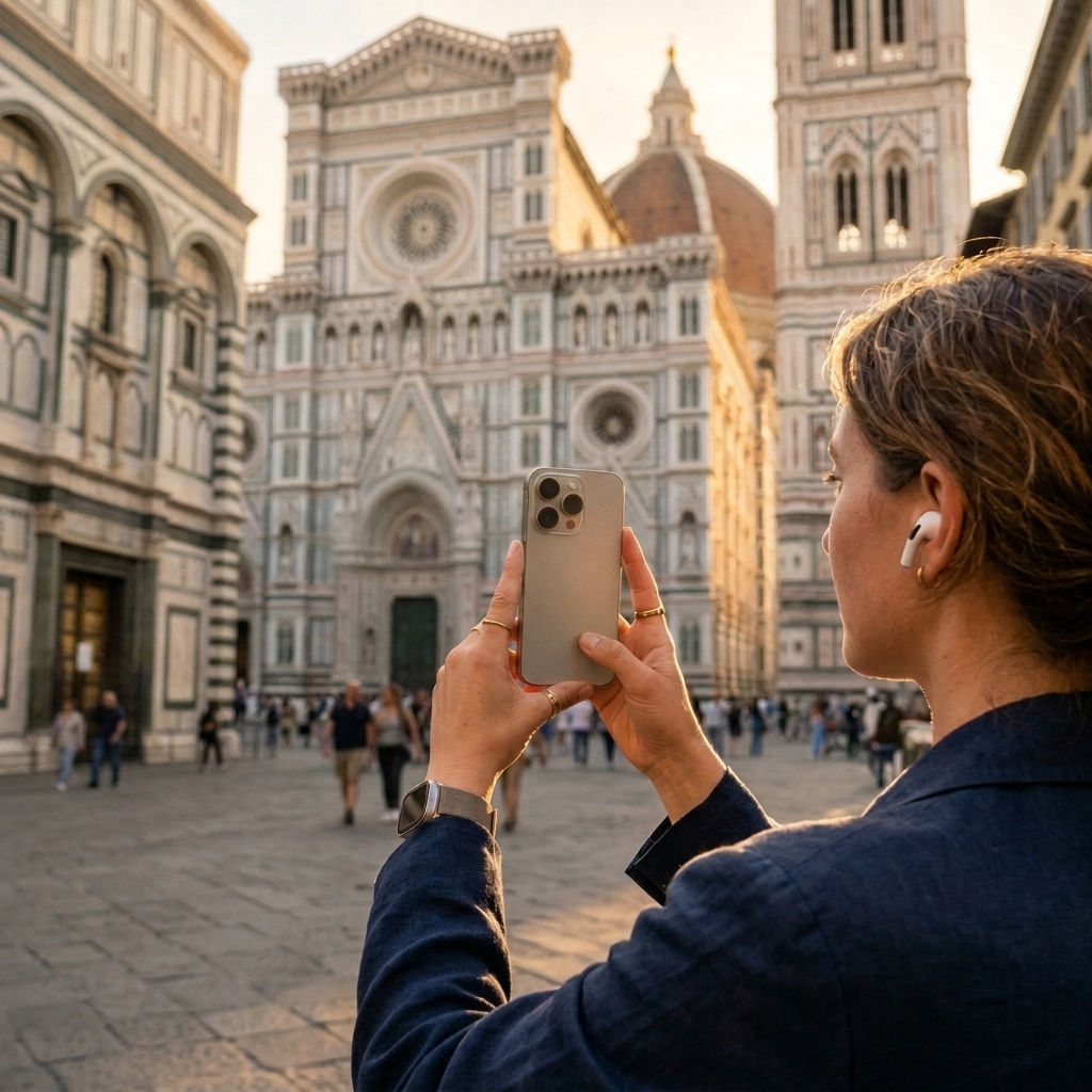
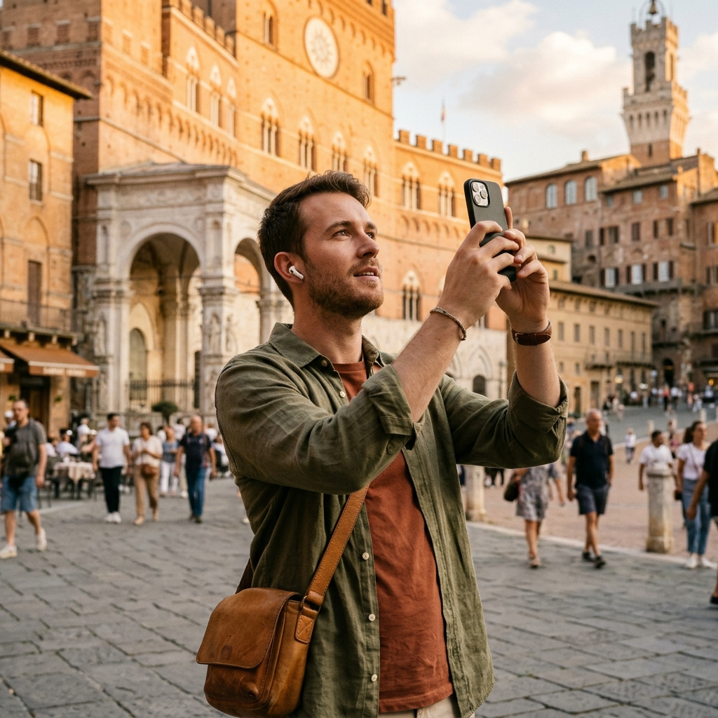
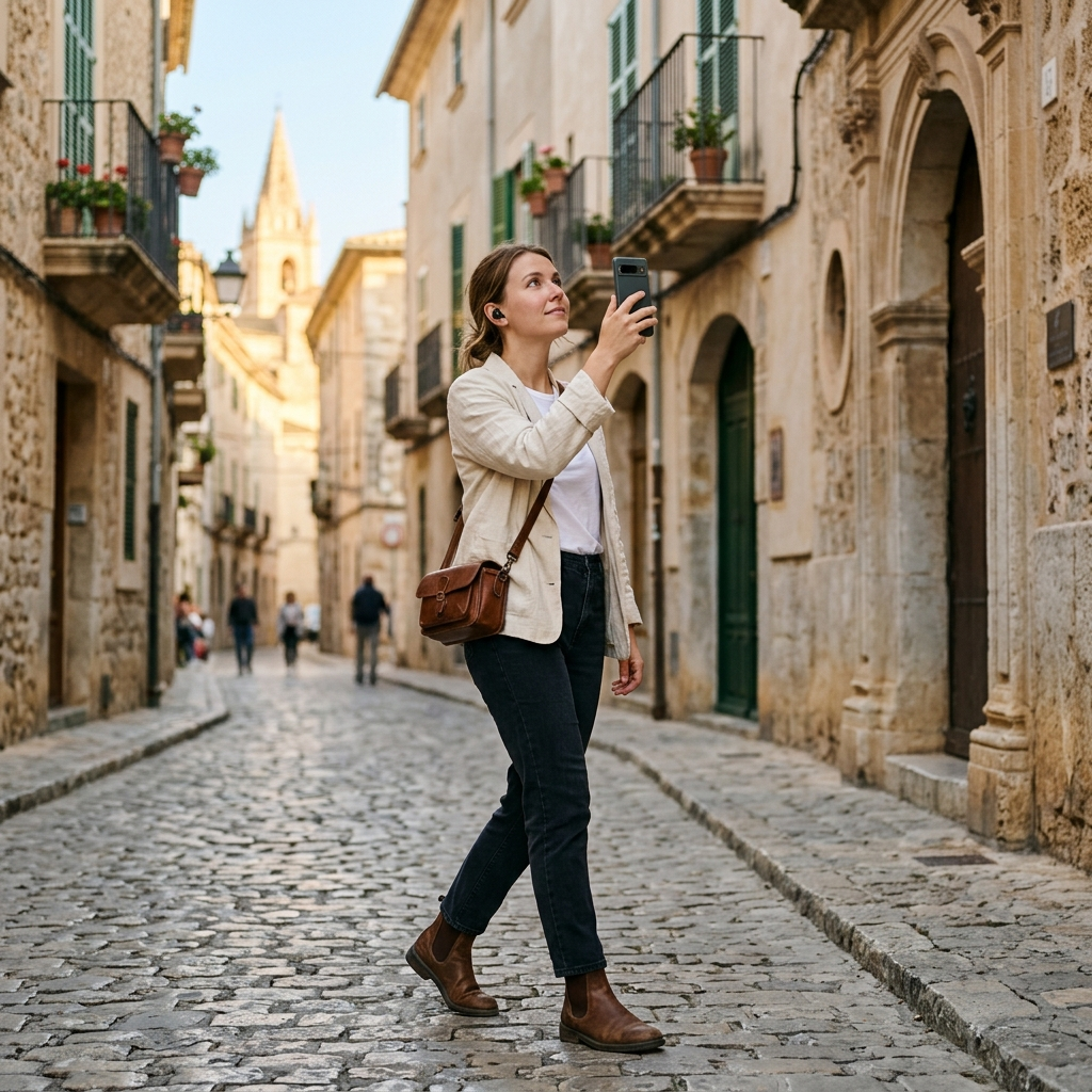
AI camera scanning identifies tourist attractions by analyzing visual patterns in a photo or video frame and matching them against a curated database of points of interest. Pointing your smartphone camera at a monument or facade allows the app's recognition model to isolate architectural features, compare those traits with catalog records, and open the relevant place page with background history and visitor details.
The Challenge of Real-Time Landmark Identification
Travelers frequently encounter statues, historic facades, and public monuments that lack signage or descriptive plaques. Attempting to identify an unfamiliar site by typing visual descriptions into a search engine often produces inaccurate results or consumes valuable sightseeing time.
Visual scanning resolves this by using physical structures as direct search queries. Instead of guessing a building's name, you capture an image of the structure to retrieve its historical and cultural context immediately.
How Visual Recognition Processes Sightseeing Landmarks
Travel apps such as Aitour: AI Travel Guide use an integrated landmark scanner to streamline place identification. The process moves through four stages:
- Frame and Image Ingestion: You take a still photograph within the app or select an existing video from your device gallery to extract a thumbnail.
- Visual Feature Extraction: Recognition models isolate prominent structural details—including geometry, architectural lines, arches, and surface textures—while filtering out background elements such as passing vehicles or changing sky conditions.
- Catalog Matching: The software compares the extracted visual signature against cataloged points of interest in the database.
- Information Retrieval: Once matched, the app opens the landmark's page, displaying verified descriptions, images, and location information.
Focusing on persistent structural geometry enables the system to recognize landmarks across varying seasons, lighting conditions, and angles.
From Recognition to Exploration: Accessing Rich POI Details
Identifying a structure is only the first step of an independent tour. Once Aitour confirms a landmark, it provides several built-in tools for further exploration:
- Place Pages: Review descriptions, view reference photos, and check your distance from the site.
- Audio Narration: Use text-to-speech to listen to place descriptions hands-free while viewing the architecture.
- Ask AI: Query the AI assistant directly for specific facts, architectural context, or historical timelines.
- Interactive Map: View the attraction on Google Maps with POI markers, preview adjacent locations, and navigate onward.
Practical Steps for Reliable Camera Scanning in the Field
While computer vision handles feature matching, image composition directly affects scanning speed and accuracy. To ensure reliable results in the field:
- Frame Distinctive Architectural Features: Center unique structural elements—such as spires, carved facades, or porticos—rather than generic boundary walls.
- Avoid Direct Backlight: Avoid shooting directly into strong sunlight, which can reduce distinct architectural features to a flat silhouette.
- Scan Video Thumbnails in Crowds: If crowds or movement make framing a clear photo difficult, record a steady video clip and select the video from your gallery to let the app scan from the thumbnail.
- Prepare for Offline Use: When traveling without reliable mobile data, verify that offline mode is enabled so you can continue viewing saved places and map data.
Organizing Itineraries Around Identified Sites
Visual scanning also simplifies itinerary planning during a trip. When you encounter unexpected sights, you can save them to your personal favorites or add them directly to a named trip. Aitour provides drag-and-drop tools to reorder destinations efficiently, while map markers display surrounding points of interest so you can plan routes logically across the city.
Summary
AI camera scanning replaces manual searching by matching camera captures directly to verified landmark entries. With tools like Aitour: AI Travel Guide, travelers can identify unknown sites, listen to spoken descriptions, explore on interactive maps, and organize multi-stop itineraries in one place.
Frequently Asked Questions
The scanner analyzes structural features such as geometry, architectural lines, and surface textures from a captured photo or video thumbnail, then matches those features against a database of known points of interest.
Yes. Aitour allows you to select a video from your device gallery, and the scanner recognizes the landmark using the video thumbnail.
After scanning, you can view images and descriptions, check walking distance, listen to text-to-speech audio, ask the AI questions about the site, and add the location to custom trip itineraries.
Yes. Aitour includes offline support, allowing you to access saved places and map information without an active cellular data connection.