Best Travel Tech Apps for Museum and Historical Tours: A Guide to Digital Cultural Interpretation
The most effective travel technology apps for museum and historical tours combine offline spatial navigation, visual object recognition, and verified curatorial databases. Category leaders include Smartify for visual artwork scanning, VoiceMap for GPS-triggered neighborhood walks, Rick Steves Audio Europe for curated European heritage, and institutional platforms like Bloomberg Connects. Selecting the right tool requires matching the underlying technology—such as ultra-wideband indoor positioning or optical recognition—to the specific environment of the cultural site.
Cultural travelers and museum visitors frequently face an interpretation gap when exploring historical sites. Traditional acoustic audio guides often rely on outdated hardware, rigid linear numbering systems, and surface-level commentary that fails to adapt to a visitor's pace or curiosity. Meanwhile, physical placards inside galleries are limited by wall space and language availability, while outdoor monuments often lack contextual signage altogether. Modern mobile interpretation platforms address these limitations by delivering on-demand scholarly context, multi-lingual audio, and precise spatial wayfinding directly to personal devices.
Core Technologies Powering Modern Cultural Interpretation
Before evaluating individual applications, travelers and cultural heritage professionals must understand the four primary technologies that dictate how an app performs in the field. Different physical environments interfere with specific signals, meaning an app built for an open-air archaeological park will rarely function well inside a subterranean vault.
1. GPS and Geofencing
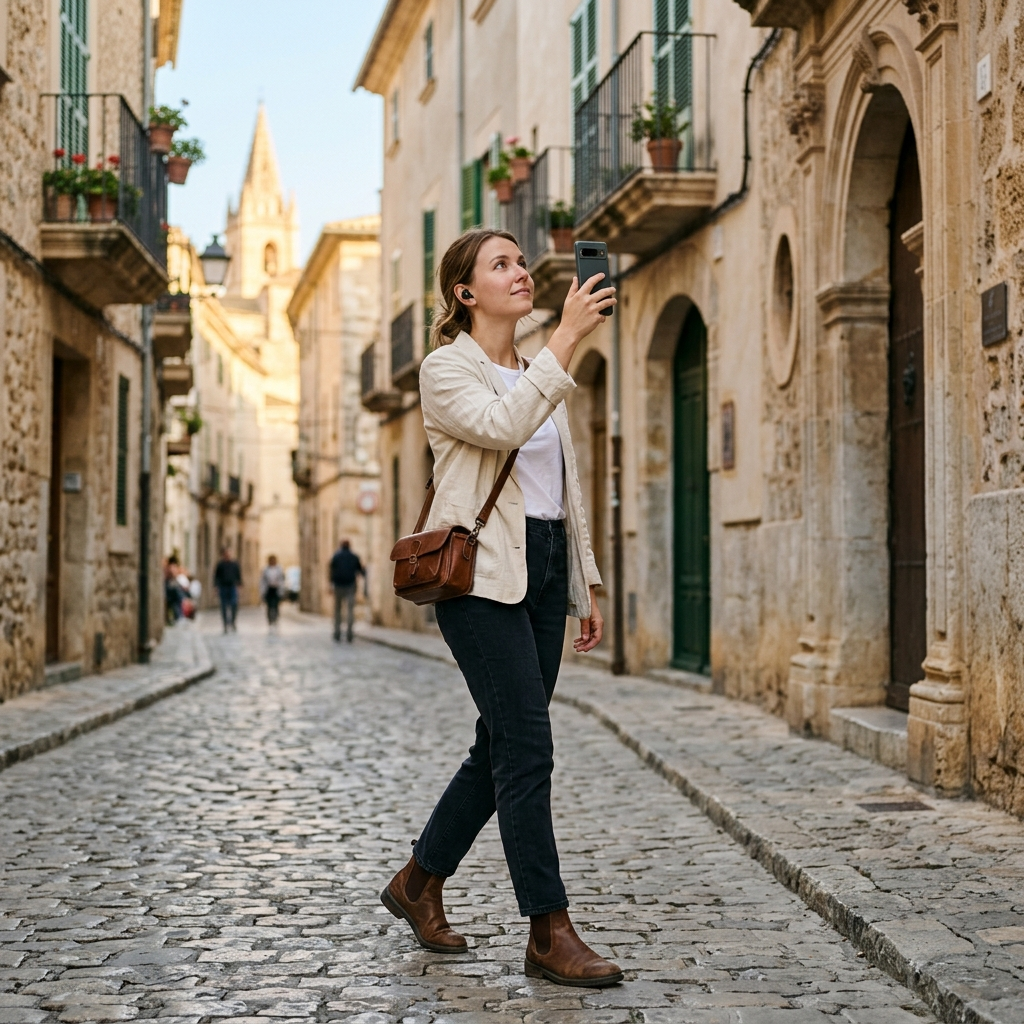
Outdoor historical tours rely on satellite positioning to create virtual perimeters, known as geofences, around landmarks. When a user's smartphone crosses into a defined radius, the application automatically triggers the relevant audio track without requiring manual screen interaction. While effective for wide-open historic districts or battlefields, standard GPS loses accuracy in narrow medieval streets with tall masonry walls and fails entirely inside thick-walled museum buildings.
2. Bluetooth Low Energy (BLE) Beacons and Ultra-Wideband (UWB)
To solve the indoor positioning problem, institutions deploy small wireless transmitters throughout their galleries. BLE beacons broadcast a constant identifier that a mobile app uses to triangulate the user's proximity to a specific display case or architectural feature. More recently, Ultra-Wideband technology has reduced spatial margin of error from several meters to a few centimeters, allowing apps to distinguish between two adjacent paintings on the same wall.
3. Computer Vision and Optical Recognition
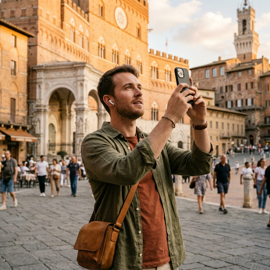
Visual recognition bypasses spatial signals altogether by using the smartphone camera as an optical sensor. When a visitor points their lens at a sculpture, painting, or building facade, the app extracts visual feature points and compares them against a cloud-based or locally cached neural network database. This eliminates the need for numbered wall labels, allowing visitors to inspect any object that catches their eye in whatever order they prefer.
4. Augmented Reality (AR) Reconstruction
At ruined archaeological sites where little physical structure remains above ground, augmented reality overlays three-dimensional architectural models onto the live camera feed. By anchoring virtual columns, frescoes, and roof lines to existing stone foundations, AR apps help visitors visualize spatial volume and historical scale that text descriptions cannot easily convey.
Section Takeaway: Match the application's core technical architecture to your physical surroundings—use computer vision and BLE-enabled apps for dense indoor galleries, and rely on GPS-triggered audio platforms for open-air historic districts.
Top Apps for Indoor Museum Collections and Fine Art
Indoor galleries require tools that can identify individual works among thousands of cataloged items while providing art historical scholarship rather than generic summaries.
Smartify
Smartify functions as a visual scanner and digital catalog for hundreds of partner museums worldwide, including the National Gallery in London, the Smithsonian Institution, and the Rijksmuseum. Users hold their camera up to an artwork to pull up curator-verified provenance, artist biographies, and audio commentary. Because the platform partners directly with collections management systems, the information reflects current academic consensus rather than crowdsourced speculation. Users can also save scanned works into a personal digital library for post-visit research.
Bloomberg Connects
Developed through philanthropic partnerships with cultural institutions, Bloomberg Connects hosts hundreds of dedicated guides for art museums, botanical gardens, and historical societies globally. Because it is funded philanthropically, the app is completely free for both the institution and the visitor, with no subscription tiers or in-app purchases. It excels at delivering behind-the-scenes video interviews with conservators, high-resolution zoomable archival maps, and accessible transcripts for deaf or hard-of-hearing visitors.
Google Arts and Culture
While often used as a desktop research repository, the Google Arts and Culture mobile app provides specialized utility inside partner museums through its Art Recognizer and Pocket Gallery features. Its primary advantage is ultra-high-resolution gigapixel imagery, which allows a visitor standing in front of a roped-off canvas to examine microscopic brushwork details on their screen that are invisible to the naked eye from behind security barriers.
- Best for instant artwork identification: Smartify
- Best for curator interviews and zero cost: Bloomberg Connects
- Best for microscopic visual inspection: Google Arts and Culture
Section Takeaway: For indoor museum visits, prioritize platforms that integrate directly with institutional databases to ensure historical accuracy and access to conservation-grade visual media.
Leading Platforms for Outdoor Historical Walking Tours
Navigating historical neighborhoods, ancient ruins, and architectural corridors requires eyes-up mobility. The best outdoor platforms prioritize hands-free audio delivery and clear directional cues so users can watch for street traffic and observe architecture rather than staring at a map screen.
VoiceMap
VoiceMap operates as an open publishing platform with rigorous editorial standards, partnering with local historians, investigative journalists, and novelists to produce GPS-triggered walking tours in over 400 destinations. Once a tour is downloaded over Wi-Fi, the app runs entirely offline, using the phone's internal GPS chip to play turn-by-turn walking directions interwoven with historical narrative. Because individual producers create the content, visitors gain access to specialized topics—such as Cold War espionage routes in Berlin or industrial canal history in Manchester—that municipal tourist boards rarely cover.
Rick Steves Audio Europe
For travelers focusing on classic European heritage sites, Rick Steves Audio Europe offers a curated library of self-guided walks and museum tours across Italy, France, Greece, the United Kingdom, and beyond. The tracks are structured as cohesive radio-style broadcasts featuring local historians alongside clear spatial orientation cues. While it lacks automated GPS triggering—requiring users to manually pause and advance tracks between stops—its strength lies in practical crowd-management advice and architectural synthesis at high-traffic sites like the Roman Forum, Pompeii, and the Acropolis.
izi.TRAVEL
As one of the largest open-access repositories of audio guides, izi.TRAVEL hosts thousands of both outdoor city walks and indoor museum tours globally, heavily adopted by European municipal heritage departments and regional museums. Because any organization or individual can publish on the platform, production quality varies considerably from tour to tour. However, for secondary cities, regional castles, and mindre-known archaeological parks in Central and Eastern Europe, it frequently holds the only available multi-lingual audio documentation.
Section Takeaway: Select outdoor walking apps that support full offline caching and GPS-triggered playback to preserve mobile battery life and keep your attention focused on the surrounding architecture.
Evaluation Framework: How to Vet a Tour App Before Your Trip
Downloading an untested application while standing in a museum ticketing queue often leads to depleted device batteries, roaming data charges, and frustrating user interfaces. Use this five-step checklist forty-eight hours before visiting a major cultural site to ensure seamless operation in the field.
- Verify Complete Offline Caching: Confirm that the app allows you to download all audio files, map tiles, and recognition databases to local storage before leaving your hotel Wi-Fi. Historic stone buildings and subterranean ruins routinely block cellular data signals.
- Audit Authorial Credentials: Check the tour credits before purchasing. Reliable historical interpretation should list specific academic credentials, museum curatorial departments, or established local journalists rather than anonymous content aggregators.
- Test Background Audio Persistence: Run a sample track with your screen locked and your navigation camera active. Poorly coded travel apps frequently terminate audio playback when the operating system puts the screen to sleep or when the user opens the native camera app to take a photograph.
- Inspect Accessibility and Transcripts: Ensure the platform provides synchronized text transcripts alongside audio files. In noisy outdoor plazas or echoes inside marble halls, reading a paragraph quickly is often more practical than replaying an audio clip three times.
- Check Hardware Power Consumption: Continuous GPS polling combined with high-brightness screen use and camera scanning can drain a lithium-ion smartphone battery in under three hours. Pack an external power bank if your itinerary includes both morning museum scanning and afternoon GPS walking routes.
Section Takeaway: Always validate offline capabilities, background audio stability, and contributor credentials on a stable network connection prior to arriving at the historical site.
Emerging Trends: Visual AI and On-Demand Synthesis
While curated databases and pre-recorded audio tracks remain the gold standard for major institutions, they leave a significant coverage gap when travelers encounter uncataloged architectural details, regional monuments, or commemorative plaques outside main tourist zones. Recent advancements in multimodal artificial intelligence and computer vision are closing this gap by shifting from static pre-recorded libraries to dynamic, on-demand visual interpretation.
Rather than relying solely on pre-mapped GPS waypoints or museum-specific partnerships, newer computer vision tools analyze raw photographic and video inputs directly. When a traveler captures an image of an unfamiliar Gothic cathedral facade, a commemorative statue, or even selects a video thumbnail recorded earlier in the trip, optical recognition models cross-reference architectural motifs, inscriptions, and spatial metadata against vast geographic catalogs to generate immediate historical context and voice-guided narratives.
Section Takeaway: Visual AI recognition supplements traditional curated apps by turning any camera capture or gallery video into an entry point for historical discovery, particularly in unguided environments.
Conclusion
Selecting the right technology for cultural travel requires balancing institutional depth with field usability. By combining museum-backed platforms like Smartify and Bloomberg Connects for indoor collections with GPS-driven narrative apps like VoiceMap for historic neighborhoods, travelers can replace passive sightseeing with rigorous historical inquiry. For travelers looking to bridge visual discovery and audio storytelling in a single workflow, AI tour guide offers a practical companion that identifies landmarks from live photos or existing gallery videos and delivers immediate voice-guided tours and historical context.
Frequently Asked Questions
Thick-walled museums and remote archaeological sites often block cellular signals. Leading outdoor platforms like VoiceMap and Rick Steves Audio Europe allow users to download full audio tracks and map tiles over Wi-Fi for complete offline use. However, apps that rely on cloud-based visual recognition, such as Smartify, typically require an active data connection or institutional Wi-Fi to match camera scans against their central databases.
In many cases, yes. Official rental hardware is often expensive, hygienically worn, and restricted to a single institution. Mobile platforms like Bloomberg Connects often host the exact same official curatorial scripts for free on your personal smartphone, while also offering adjustable playback speeds, full text transcripts, and integration with your own noise-canceling headphones.
Visual recognition apps use computer vision algorithms to extract distinct geometric features, textures, and color gradients from a photo or video frame. The software compares these visual signatures against a cataloged database of points of interest and artworks, often combining the visual match with device metadata to return verified historical details and audio descriptions within seconds.
Pre-download all tour assets over Wi-Fi before leaving your accommodation, switch your device to low-power mode, and keep your screen locked during GPS-triggered audio walks. Because continuous GPS tracking and camera scanning consume significant power, carrying a compact 10,000mAh portable power bank is recommended for full-day itineraries.